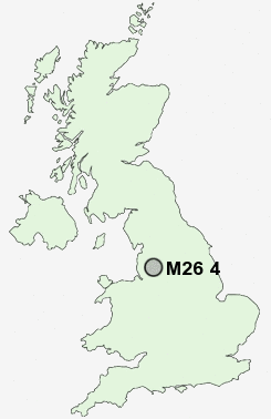
Postcode : M26 4, Bury, Greater Manchester
Postcodes in the M26 4 district. Covering areas such as Black Lane and Bury in Greater Manchester.
Postcode Area M : Manchester
M26 Postcode Sectors
M26 4 Nearby Postcode Districts
BL0 BL1 BL2 BL3 BL4 BL5 BL6 BL7 BL8 BL9 M1 M11 M2 M24 M25 M26 M27 M28 M29 M3 M30 M35 M38 M4 M40 M43 M45 M46 M5 M6 M60 M7 M8 M9 OL1 OL10 OL11 OL12 OL15 OL16 OL2 OL3 OL4 OL5 OL6 OL7 OL8 OL9 PR6 PR7 SK15 SK16 WA11 WN1 WN2 WN3 WN4 WN5 WN6 WN7
Stations near to M26 4
Kearsley Rail Station about 2.41 miles away.Farnworth Rail Station about 2.47 miles away.
M26 4 Schools
Radcliffe Primary SchoolGorsefield Primary School
Radcliffe Riverside School
Greenhill Primary School
Cams Lane Primary School
Lowercroft Primary School
Chantlers Primary School
The Derby High School
UK Search
Antique Furniture
1000s of pieces of Antique Furniture for sale from British antique dealers.