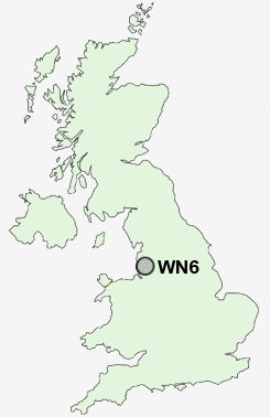
Postcode : WN6, Wigan, Lancashire
Postcodes in the WN6 sector. Covering areas such as Beech Hill, Springfield, Boar's Head, Robin Hood, Standish, Hunger Hill, Shevington Vale, Wrightington Bar, Shevington Moor, Crooke, High Moor, Mossy Lea, Shevington, Dangerous Corner, Appley Bridge and Wigan in Lancashire, Greater Manchester.
Postcode Area WN : Wigan
WN6 Postcode Sectors
WN6 9 Appley Bridge, Dangerous Corner, High Moor, Hunger Hill, Mossy Lea
WN6 8 Beech Hill, Crooke, Gathurst, Shevington, Standish Lower Ground
WN6 8 Beech Hill, Crooke, Gathurst, Shevington, Standish Lower Ground
WN6 Nearby Postcode Districts
BL0 BL1 BL2 BL3 BL4 BL5 BL6 BL7 BL8 BL9 L10 L22 L23 L29 L30 L31 L32 L33 L37 L38 L39 L40 M25 M26 M27 M28 M29 M30 M38 M45 M46 M5 M6 PR6 PR7 PR8 PR9 WA11 WN1 WN2 WN3 WN4 WN5 WN6 WN7 WN8
Stations near to WN6
Gathurst Rail Station about 1.45 miles away.Wigan Wallgate Rail Station about 2.49 miles away.
Wigan North Western Rail Station about 2.56 miles away.
Pemberton Rail Station about 3.01 miles away.
Orrell Rail Station about 3.43 miles away.
WN6 Schools
Wood Fold Primary SchoolShevington High School
Beech Hill Community Primary School
Standish Community High School
Shevington Community Primary School
Shevington Vale Primary School
Marsh Green Primary School
Woodfield Primary School
UK Search
Antique Furniture
1000s of pieces of Antique Furniture for sale from British antique dealers.