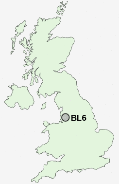
Postcode : BL6, Bolton, Lancashire
Postcodes in the BL6 sector. Covering areas such as Scot Lane End, Blackrod, Lostock, Lostock Junction, Rivington, Horwich, Bottom o' th' Moor, Wilderswood, Chew Moor, Wallsuches, Montcliffe, Little Scotland and Bolton in Greater Manchester, Lancashire.
Postcode Area BL : Bolton
BL6 Postcode Sectors
BL6 5 Blackrod, Horwich, Little Scotland, Scot Lane End
BL6 6 Bottom o' th' Moor, Montcliffe, Wallsuches, Wilderswood
BL6 6 Bottom o' th' Moor, Montcliffe, Wallsuches, Wilderswood
BL6 Nearby Postcode Districts
BL0 BL1 BL2 BL3 BL4 BL5 BL6 BL7 BL8 BL9 L31 L39 L40 M24 M25 M26 M27 M28 M29 M35 M38 M40 M45 M46 M6 M7 M8 M9 OL10 OL11 OL12 OL9 PR26 PR6 PR7 WN1 WN2 WN3 WN4 WN5 WN6 WN7 WN8
Stations near to BL6
Horwich Parkway Rail Station about 0.96 miles away.Blackrod Rail Station about 1.25 miles away.
Lostock Rail Station about 2.26 miles away.
Westhoughton Rail Station about 2.59 miles away.
Hindley Rail Station about 3.75 miles away.
BL6 Schools
Chorley New Road Primary SchoolSt Mary's RC Primary School
Horwich Parish CofE Primary School
Claypool Primary School
Lord Street Primary School
Blackrod Primary School
Rivington Park Independent School
UK Search
Antique Clocks
Browse Antique Clocks for sale from British antique dealers.