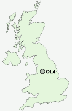
Postcode : OL4, Oldham, Greater Manchester
Postcodes in the OL4 sector. Covering areas such as Spring Hill, Clarksfield, Top o' th' Meadows, Sholver, Lydgate, Springhead, Greenacres, Grains Bar, Moorhey, Grasscroft, Austerlands, Grotton, Lees, Wall Hill, Roebuck Low and Oldham in Greater Manchester.
Postcode Area OL : Oldham
OL4 Postcode Sectors
OL4 3 Austerlands, Roebuck Low, Top o' th' Meadows, Wall Hill
OL4 5 Clarksfield, Glodwick, Grotton, Holts, Lees
OL4 2 Grains Bar, Greenacres, Moorside, Sholver, Spring Hill
OL4 5 Clarksfield, Glodwick, Grotton, Holts, Lees
OL4 2 Grains Bar, Greenacres, Moorside, Sholver, Spring Hill
OL4 Nearby Postcode Districts
BL1 BL2 BL3 BL4 BL7 BL8 BL9 HD4 HD7 HD8 HD9 M1 M11 M12 M13 M14 M15 M16 M17 M18 M2 M24 M25 M26 M27 M28 M29 M3 M30 M32 M34 M35 M38 M4 M40 M41 M43 M45 M5 M6 M60 M7 M8 M9 OL1 OL10 OL11 OL12 OL16 OL2 OL3 OL4 OL5 OL6 OL7 OL8 OL9 SK13 SK14 SK15 SK16
Stations near to OL4
Mossley (Manchester) Rail Station about 2.28 miles away.OL4 Schools
Clarksfield Primary SchoolGreenacres Primary School
Littlemoor Primary School
Roundthorn Community Primary School
Watersheddings Primary School
Alt Primary School
Mayfield Primary School
Horton Mill Community Primary School
Beever Primary School
Medlock Valley Community School
UK Search
Antique Furniture
1000s of pieces of Antique Furniture for sale from British antique dealers.