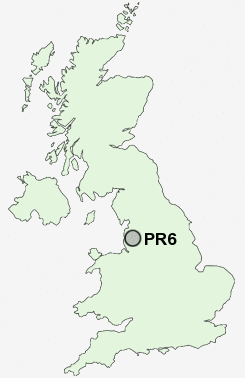
Postcode : PR6, Lancashire
Postcodes in the PR6 sector. Covering areas such as Anderton, Withnell, Limbrick, Cowling, Higher Wheelton, Johnson's Hillock, Wheelton, Thorpe Green, Brindle, Hartwood, Withnell Fold, Pippin Street, Abbey Village, Whittle-le-Woods and Lancashire.
Postcode Area PR : Preston
PR6 Postcode Sectors
PR6 8 Abbey Village, Brindle, Brinscall, Higher Wheelton, Jack Green
PR6 9 Adlington, Anderton, Grimeford Village, Lane Ends, Limbrick
PR6 9 Adlington, Anderton, Grimeford Village, Lane Ends, Limbrick
PR6 Nearby Postcode Districts
BB1 BB2 BB3 BB4 BB5 BL0 BL1 BL2 BL6 BL7 BL8 BL9 FY8 L40 OL10 PR1 PR25 PR26 PR4 PR5 PR6 PR7 PR9 WN6
Stations near to PR6
Chorley Rail Station about 1.24 miles away.PR6 Schools
Chorley St Peter's Church of England Primary SchoolHighfield Primary School
Ar-Rahmah Academy
Buckshaw Primary School
Duke Street Primary School
Albany Science College
Parklands High School
UK Search
Antique Furniture
1000s of pieces of Antique Furniture for sale from British antique dealers.