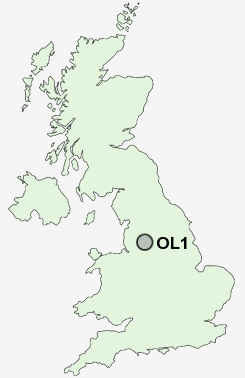
Postcode : OL1, Oldham, Greater Manchester
Postcodes in the OL1 sector. Covering areas such as Sharneyford, Greengate, Rough Bank, Nun Hills, Cutgate, Syke, Bacup, Trub, Smallbridge, Firgrove, Shade, Rake Head, Rain Shore, Clough, Shawfield, Oldham, Lancashire, Rochdale and Calderdale in Greater Manchester, West Yorkshire.
Postcode Area OL : Oldham
OL1 Postcode Sectors
OL1 Nearby Postcode Districts
BL0 BL1 BL2 BL3 BL4 BL7 BL8 BL9 HD1 HD4 HD5 HD7 HD9 M1 M11 M12 M13 M15 M16 M17 M18 M2 M24 M25 M26 M27 M28 M29 M3 M30 M32 M34 M35 M38 M4 M40 M41 M43 M45 M46 M5 M6 M60 M7 M8 M9 OL1 OL10 OL11 OL12 OL15 OL16 OL2 OL3 OL4 OL5 OL6 OL7 OL8 OL9 SK14 SK15 SK16
OL1 Schools
Beever Primary SchoolHorton Mill Community Primary School
Clarksfield Primary School
Richmond Primary School
Westwood Primary School
Burnley Brow Community School
Coppice Primary School
Bare Trees Primary School
Freehold Community Junior Infant and Nursery School
Alt Primary School
Medlock Valley Community School
UK Search
Antique Furniture
1000s of pieces of Antique Furniture for sale from British antique dealers.