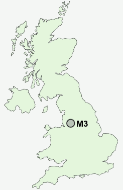
Postcode : M3, Salford, Greater Manchester
Postcodes in the M3 sector. Covering areas such as Carrington, Barton Upon Irwell, Gorse Hill, Failsworth, Peel Green, Partington, Brooklands, Haughton Green, Dumplington, Sale, Ashton Upon Mersey, Dane Bank, Eccles, Ellesmere Park, Monton, Salford, Trafford, Tameside and Oldham in Greater Manchester.
Postcode Area M : Manchester
M3 Postcode Sectors
M3 Nearby Postcode Districts
BL3 BL4 BL5 M1 M11 M12 M13 M14 M15 M16 M17 M18 M19 M2 M20 M21 M22 M23 M24 M25 M26 M27 M28 M29 M3 M30 M31 M32 M33 M34 M35 M38 M4 M40 M41 M43 M44 M45 M46 M5 M6 M60 M7 M8 M9 OL1 OL2 OL3 OL4 OL5 OL6 OL7 OL8 OL9 SK1 SK13 SK14 SK15 SK16 SK2 SK3 SK4 SK5 SK6 WA1 WA12 WA14 WA15 WA2 WA3 WA5 WN1 WN2 WN3 WN4 WN7
Stations near to M3
Manchester Victoria Rail Station about 0.46 miles away.Deansgate Rail Station about 0.61 miles away.
Manchester Oxford Road Rail Station about 0.72 miles away.
Manchester Piccadilly Rail Station about 0.91 miles away.
Salford Crescent Rail Station about 1.05 miles away.
Ardwick Rail Station about 1.73 miles away.
Manchester United FC Rail Station about 2.17 miles away.
Mauldeth Road Rail Station about 3.85 miles away.
M3 Schools
The Friars Primary SchoolCharlestown Community Primary School
North Grecian Street Primary School
Marlborough Road Primary School
Lower Kersal Community Primary School
Brentnall Primary School
Manchester Academy
Manchester Academy
Seymour Park Community Primary School
UK Search
Antique Furniture
1000s of pieces of Antique Furniture for sale from British antique dealers.