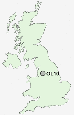
Postcode : OL10, Rochdale, Greater Manchester
Postcodes in the OL10 sector. Covering areas such as Darn Hill, Hooley Brow, Hopwood, Heywood, Heady Hill, Hooley Bridge, Captain Fold, Summit, Crimble, Broadfield and Rochdale in Greater Manchester.
Postcode Area OL : Oldham
OL10 Postcode Sectors
OL10 Nearby Postcode Districts
BL0 BL1 BL2 BL3 BL4 BL5 BL6 BL7 BL8 BL9 HD3 HD7 HX4 HX5 M24 M25 M26 M27 M28 M29 M35 M38 M40 M45 M46 M6 M7 M8 M9 OL1 OL10 OL11 OL12 OL15 OL16 OL2 OL3 OL4 OL5 OL6 OL7 OL8 OL9 PR6 WN2 WN7
Stations near to OL10
Castleton (Manchester) Rail Station about 1.8 miles away.OL10 Schools
Harwood Park Primary SchoolSiddal Moor Sports College
Hopwood Community Primary School
Heywood Community High School
Matthew Moss High School
St Anne's Church of England Academy
St Anne's Church of England Academy
UK Search
Antique Furniture
1000s of pieces of Antique Furniture for sale from British antique dealers.