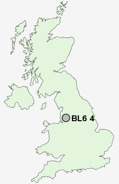
Postcode : BL6 4, Bolton, Greater Manchester
Postcodes in the BL6 4 district. Covering areas such as Lostock, Chew Moor, Lostock Junction and Bolton in Greater Manchester.
Postcode Area BL : Bolton
BL6 Postcode Sectors
BL6 5 Blackrod, Horwich, Little Scotland, Scot Lane End
BL6 6 Bottom o' th' Moor, Montcliffe, Wallsuches, Wilderswood
BL6 6 Bottom o' th' Moor, Montcliffe, Wallsuches, Wilderswood
BL6 4 Nearby Postcode Districts
BL0 BL1 BL2 BL3 BL4 BL5 BL6 BL7 BL8 BL9 L32 L33 L40 M1 M11 M2 M24 M25 M26 M27 M28 M29 M3 M30 M35 M38 M4 M40 M43 M45 M46 M5 M6 M60 M7 M8 M9 OL1 OL10 OL11 OL12 OL15 OL16 OL2 OL7 OL8 OL9 PR6 PR7 WA11 WN1 WN2 WN3 WN4 WN5 WN6 WN7 WN8
Stations near to BL6 4
Lostock Rail StationWesthoughton Rail Station about 1.72 miles away.
Horwich Parkway Rail Station about 1.99 miles away.
Daisy Hill Rail Station about 2.45 miles away.
Hag Fold Rail Station about 2.64 miles away.
Atherton Rail Station about 3.02 miles away.
BL6 4 Schools
Ladybridge High SchoolMarkland Hill Primary School
Haslam Park Primary School
Devonshire Road Primary School
The Gates Primary School
Claypool Primary School
Johnson Fold Community Primary School
Church Road Primary School
Westhoughton High School
UK Search
Antique Clocks
Browse Antique Clocks for sale from British antique dealers.