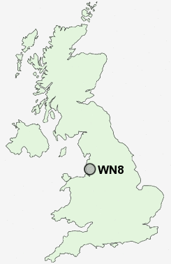
Postcode : WN8, Lancashire
Postcodes in the WN8 sector. Covering areas such as Parbold, Crawford, Pennylands, Ashurst, Hall Green, Up Holland, Birch Green, Roby Mill, Whalleys, Chapel House, Dalton, Hill Dale, Bank Top, Skelmersdale, Elmers Green and Lancashire.
Postcode Area WN : Wigan
WN8 Postcode Sectors
WN8 6 Ashurst, Birch Green, Elmers Green, Skelmersdale, Town Centre
WN8 0 Bank Top, Hall Green, Newgate, Roby Mill, Up Holland
WN8 8 Blaguegate, Chapel House, Pennylands
WN8 0 Bank Top, Hall Green, Newgate, Roby Mill, Up Holland
WN8 8 Blaguegate, Chapel House, Pennylands
WN8 Nearby Postcode Districts
BL1 BL2 BL3 BL4 BL5 BL6 BL7 L10 L21 L22 L23 L29 L30 L31 L32 L33 L37 L38 L39 L40 L9 M28 M29 M38 M46 PR7 PR8 WA10 WA11 WA12 WA3 WN1 WN2 WN3 WN4 WN5 WN6 WN7 WN8
Stations near to WN8
Upholland Rail Station about 2.02 miles away.Parbold Rail Station about 2.61 miles away.
Rainford Rail Station about 2.63 miles away.
Appley Bridge Rail Station about 2.67 miles away.
Hoscar Rail Station about 3.43 miles away.
WN8 Schools
Woodlands Community Primary SchoolDelph Side Community Primary School
Hillside Community Primary School
Glenburn Sports College
Cobbs Brow School
Crow Orchard Primary School
Holland Moor Primary School
Little Digmoor Primary School
Lathom High School : A Technology College
Moorside Community Primary School
Brookfield Park Primary School
UK Search
Antique Furniture
1000s of pieces of Antique Furniture for sale from British antique dealers.