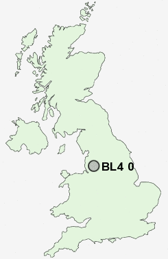
Postcode : BL4 0, Bolton, Greater Manchester
Postcodes in the BL4 0 district. Covering areas such as Lever-Edge, Edge Fold, Harper Green, Highfield and Bolton in Greater Manchester.
Postcode Area BL : Bolton
BL4 Postcode Sectors
BL4 0 Nearby Postcode Districts
BL0 BL1 BL2 BL3 BL4 BL5 BL6 BL7 BL8 BL9 L40 M1 M11 M12 M13 M15 M16 M17 M18 M2 M24 M25 M26 M27 M28 M29 M3 M30 M34 M35 M38 M4 M40 M43 M45 M46 M5 M6 M60 M7 M8 M9 OL1 OL10 OL11 OL12 OL15 OL16 OL2 OL4 OL6 OL7 OL8 OL9 PR7 SK16 WA11 WN1 WN2 WN3 WN4 WN5 WN6 WN7 WN8
Stations near to BL4 0
Bolton Rail Station about 1.62 miles away.Moses Gate Rail Station about 1.87 miles away.
Atherton Rail Station about 2.18 miles away.
Lostock Rail Station about 2.34 miles away.
Hag Fold Rail Station about 2.43 miles away.
Hall i' th' Wood Rail Station about 3.28 miles away.
BL4 0 Schools
Hayward SchoolClarendon Primary School
Wharton Primary School
Ladybridge High School
Harper Green School
Dukesgate Primary School
UK Search
Antique Clocks
Browse Antique Clocks for sale from British antique dealers.