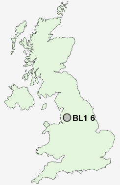
Postcode : BL1 6, Bolton, Greater Manchester
Postcodes in the BL1 6 district. Covering areas such as Sharples, Doffcocker and Bolton in Greater Manchester.
Postcode Area BL : Bolton
BL1 Postcode Sectors
BL1 7 Astley Bridge, Bank Top, Horrocks Fold
BL1 5 Barrow Bridge, Heaton, Johnson Fold, Markland Hill
BL1 3 Brownlow Fold, Halliwell
BL1 5 Barrow Bridge, Heaton, Johnson Fold, Markland Hill
BL1 3 Brownlow Fold, Halliwell
BL1 6 Nearby Postcode Districts
BB3 BL0 BL1 BL2 BL3 BL4 BL5 BL6 BL7 BL8 BL9 L40 M24 M25 M26 M27 M28 M29 M35 M38 M40 M45 M46 M7 M8 M9 OL1 OL10 OL11 OL12 OL15 OL16 OL2 OL4 OL8 OL9 PR25 PR26 PR6 PR7 WN1 WN2 WN3 WN5 WN6 WN8
Stations near to BL1 6
Hall i' th' Wood Rail Station about 1.4 miles away.Bromley Cross Rail Station about 1.81 miles away.
Bolton Rail Station about 1.94 miles away.
Lostock Rail Station about 2.65 miles away.
Moses Gate Rail Station about 3.53 miles away.
BL1 6 Schools
Smithills SchoolChurch Road Primary School
The Valley Community Primary School
Sharples School
The Oaks Primary School
Devonshire Road Primary School
Castle Hill Primary School
Turton School
Eagley Infant School
Eagley Junior School
UK Search
Antique Clocks
Browse Antique Clocks for sale from British antique dealers.