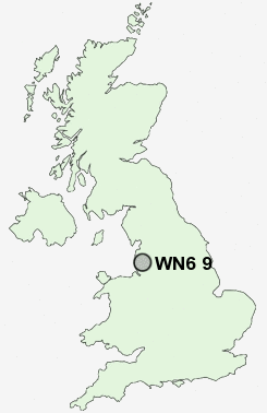
Postcode : WN6 9, Wigan, Lancashire
Postcodes in the WN6 9 district. Covering areas such as Dangerous Corner, Wrightington Bar, Shevington Vale, High Moor, Robin Hood, Hunger Hill, Mossy Lea, Appley Bridge and Wigan in Lancashire, Greater Manchester.
Postcode Area WN : Wigan
WN6 Postcode Sectors
WN6 9 Appley Bridge, Dangerous Corner, High Moor, Hunger Hill, Mossy Lea
WN6 8 Beech Hill, Crooke, Gathurst, Shevington, Standish Lower Ground
WN6 8 Beech Hill, Crooke, Gathurst, Shevington, Standish Lower Ground
WN6 9 Nearby Postcode Districts
BB3 BL0 BL1 BL2 BL3 BL4 BL5 BL6 BL7 BL8 L37 L38 L39 L40 M26 M38 M46 PR25 PR26 PR6 PR7 PR8 PR9 WN1 WN2 WN3 WN5 WN6 WN8
Stations near to WN6 9
Appley Bridge Rail Station about 2.65 miles away.Euxton Balshaw Lane Rail Station about 3.35 miles away.
WN6 9 Schools
Wrightington Mossy Lea Primary SchoolSt Joseph's Catholic Primary School, Wrightington
Coppull St John's Church of England Voluntary Aided Primary School
St Oswald's Catholic Primary School, Coppull
Coppull Primary School and Nursery
Christ Church Charnock Richard CofE Primary School
UK Search
Antique Furniture
1000s of pieces of Antique Furniture for sale from British antique dealers.