Postcode : L38, Sefton, Merseyside
Postcodes in the L38 sector. Covering areas such as Hightown, Carr Houses, Lady Green, Ince Blundell and Sefton in Merseyside.
Postcode Area L : Liverpool
L38 Postcode Sectors
L38 Nearby Postcode Districts
CH45 L10 L11 L12 L20 L21 L22 L23 L28 L29 L30 L31 L32 L33 L34 L37 L38 L39 L4 L40 L5 L9 WA10 WA11 WA9 WN5 WN6 WN8
Stations near to L38
Hightown Rail Station about 0.3 miles away.Hall Road Rail Station about 1.83 miles away.
Formby Rail Station about 2.21 miles away.
Blundellsands & Crosby Rail Station about 2.54 miles away.
Freshfield Rail Station about 3.04 miles away.
Waterloo (Merseyside) Rail Station about 3.53 miles away.
L38 Schools
Range High School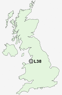
UK Search
Antique Jewellery
including Antique Engagement Rings for sale from UK Antique specialists.