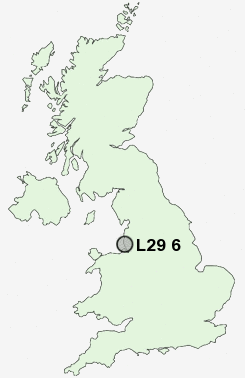
Postcode : L29 6, Sefton, Merseyside
Postcodes in the L29 6 district. Covering areas such as Lunt, Sefton and Sefton in Merseyside.
Postcode Area L : Liverpool
L29 Postcode Sectors
L29 6 Nearby Postcode Districts
CH44 CH45 L10 L11 L12 L13 L14 L2 L20 L21 L22 L23 L28 L29 L3 L30 L31 L32 L33 L34 L35 L36 L37 L38 L39 L4 L40 L5 L6 L69 L70 L9 WA10 WA11 WA12 WA2 WA9 WN1 WN2 WN3 WN4 WN5 WN6 WN8
Stations near to L29 6
Old Roan Rail Station about 1.63 miles away.Maghull Rail Station about 1.77 miles away.
Aintree Rail Station about 2.35 miles away.
Fazakerley Rail Station about 2.99 miles away.
Seaforth & Litherland Rail Station about 3.05 miles away.
Orrell Park Rail Station about 3.09 miles away.
Rice Lane Rail Station about 3.38 miles away.
L29 6 Schools
Maghull High SchoolThornton Primary School
Hudson Primary School
Deyes High School
Chesterfield High School
Northway Primary School
Litherland High School
Forefield Junior School
Forefield Community Infant and Nursery School
UK Search
Antique Jewellery
including Antique Engagement Rings for sale from UK Antique specialists.