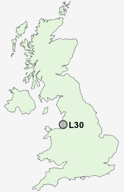
Postcode : L30, Sefton, Merseyside
Postcodes in the L30 sector. Covering areas such as Netherton, Buckley Hill and Sefton in Merseyside.
Postcode Area L : Liverpool
L30 Postcode Sectors
L30 Nearby Postcode Districts
CH41 CH44 CH45 CH46 CH47 L1 L10 L11 L12 L13 L14 L15 L16 L2 L20 L21 L22 L23 L27 L28 L29 L3 L30 L31 L32 L33 L34 L35 L36 L37 L38 L39 L4 L5 L6 L69 L7 L70 L8 L9 WA10 WA11 WA12 WA2 WA5 WA9 WN1 WN2 WN3 WN4 WN5 WN6 WN8
Stations near to L30
Old Roan Rail Station about 0.84 miles away.Aintree Rail Station about 0.92 miles away.
Fazakerley Rail Station about 1.75 miles away.
Maghull Rail Station about 2.27 miles away.
Bootle New Strand Rail Station about 2.33 miles away.
Bootle Oriel Road Rail Station about 2.78 miles away.
Kirkdale Rail Station about 3.01 miles away.
Bank Hall Rail Station about 3.28 miles away.
L30 Schools
Litherland High SchoolLitherland Moss Primary School
Aintree Davenhill Primary School
Springwell Park Community Primary School
Chesterfield High School
St George of England Specialist Engineering College
Forefield Community Infant and Nursery School
Hudson Primary School
Maghull High School
Lander Road Primary School
UK Search
Antique Jewellery
including Antique Engagement Rings for sale from UK Antique specialists.