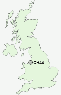
Postcode : CH44, Wirral, Cheshire
Postcodes in the CH44 sector. Covering areas such as Egremont and Wirral in Merseyside, Cheshire.
Postcode Area CH : Chester
CH44 Postcode Sectors
CH44 Nearby Postcode Districts
CH41 CH42 CH43 CH44 CH45 CH46 CH47 CH48 CH49 CH60 CH61 CH62 CH63 L1 L10 L11 L12 L13 L14 L15 L16 L17 L18 L19 L2 L20 L21 L22 L23 L24 L25 L26 L27 L28 L29 L3 L30 L31 L32 L33 L34 L35 L36 L4 L5 L6 L69 L7 L70 L8 L9 LL19 WA10 WA11 WA5 WA7 WA8 WA9 WN4
Stations near to CH44
Birkenhead North Rail Station about 1.15 miles away.Birkenhead Park Rail Station about 1.22 miles away.
Conway Park Rail Station about 1.59 miles away.
Bidston Rail Station about 1.8 miles away.
Birkenhead Central Rail Station about 1.95 miles away.
Bank Hall Rail Station about 2.53 miles away.
Bootle Oriel Road Rail Station about 2.74 miles away.
Bootle New Strand Rail Station about 3.15 miles away.
CH44 Schools
Egremont Primary SchoolThe Oldershaw School
Weatherhead High School Media Arts College
Portland Primary School
The Mosslands School
Cathcart Street Primary School
Park High School
Bidston Avenue Primary School
Cole Street Primary School
UK Search
Antique Clocks
Browse Antique Clocks for sale from British antique dealers.