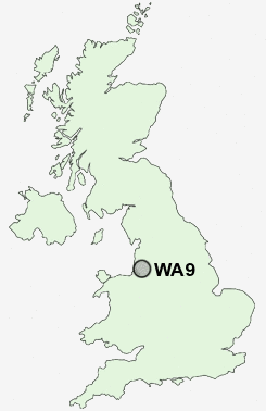
Postcode : WA9, St Helens, Merseyside
Postcodes in the WA9 sector. Covering areas such as Sutton Leach, Sutton, Lea Green, Marshall's Cross, Moss Nook, Parr, Peasley Cross, Derbyshire Hill, Thatto Heath, Sutton Manor, Broad Oak, Nut Grove, Clock Face, Brown Edge and St Helens in Merseyside.
Postcode Area WA : Warrington
WA9 Postcode Sectors
WA9 2 Broad Oak, Derbyshire Hill
WA9 5 Brown Edge, Lea Green, Marshall's Cross, Nut Grove, Sutton Heath
WA9 5 Brown Edge, Lea Green, Marshall's Cross, Nut Grove, Sutton Heath
WA9 Nearby Postcode Districts
CH41 CH42 CH43 CH44 CH45 CH46 CH49 CH61 CH63 L1 L10 L11 L12 L13 L14 L15 L16 L17 L18 L19 L2 L20 L21 L22 L23 L24 L25 L26 L27 L28 L29 L3 L30 L31 L32 L33 L34 L35 L36 L38 L4 L5 L6 L69 L7 L70 L8 L9 M17 M27 M28 M29 M30 M31 M33 M38 M41 M44 M46 WA1 WA10 WA11 WA12 WA13 WA14 WA15 WA2 WA3 WA4 WA5 WA8 WA9 WN3 WN4 WN5 WN7
Stations near to WA9
Lea Green Rail Station about 0.7 miles away.St Helens Junction Rail Station about 0.75 miles away.
St Helens Central Rail Station about 1.29 miles away.
Thatto Heath Rail Station about 1.7 miles away.
Rainhill Rail Station about 2.38 miles away.
WA9 Schools
Robins Lane Community Primary SchoolEaves Primary School
Sherdley Primary School
Sutton High Sports College
Allanson Street Primary School
Thatto Heath Community Primary School
Sutton Manor Community Primary School
UK Search
Antique Furniture
1000s of pieces of Antique Furniture for sale from British antique dealers.