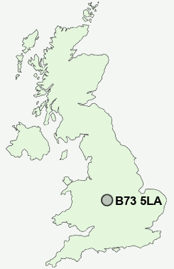
Postcode : B73 5LA, Boldmere, Birmingham, West Midlands
Station Road, Sutton Coldfield.
B73 5LA close to Boldmere and New Oscott.
Classification
B73 5LA : Urbanites / Urban professionals and families / White professionals
Local Authority Birmingham
Primary Care Trust Birmingham East and North
Ward Sutton Vesey
Constituency Sutton Coldfield
Region West Midlands
Country England
Postcode Area B : Birmingham
B73 Postcode Sectors
B73 5LA Nearby Postcode Districts
B1 B10 B11 B12 B15 B16 B17 B18 B19 B2 B20 B21 B23 B24 B25 B26 B3 B32 B33 B34 B35 B36 B37 B4 B40 B42 B43 B44 B46 B5 B6 B62 B63 B64 B65 B66 B67 B68 B69 B7 B70 B71 B72 B73 B74 B75 B76 B77 B78 B8 B9 CV10 CV11 CV12 CV9 DY1 DY2 DY3 DY4 DY5 DY6 DY7 DY8 WS1 WS10 WS2 WS3 WS4 WS5 WS9 WV1 WV10 WV11 WV12 WV13 WV14 WV2 WV3 WV4 WV5 WV6 WV8 WV9
Stations near to B73 5LA
Wylde Green Rail StationChester Road Rail Station about 0.65 miles away.
Erdington Rail Station about 1.21 miles away.
Sutton Coldfield Rail Station about 1.4 miles away.
Gravelly Hill Rail Station about 2.26 miles away.
Four Oaks Rail Station about 2.4 miles away.
Butlers Lane Rail Station about 3.29 miles away.
Aston Rail Station about 3.3 miles away.
B73 5LA Schools
Boldmere Infant School and NurseryWylde Green Primary School
Sutton Coldfield Grammar School for Girls
Maney Hill Primary School
Holland House Infant School and Nursery
Penns Primary School
Plantsbrook School
Town Junior School
New Oscott Primary School
John Willmott School
Stockland Green Technology College
UK Search
Antique Clocks
Browse Antique Clocks for sale from British antique dealers.