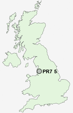
Postcode : PR7 5, Lancashire
Postcodes in the PR7 5 district. Covering areas such as Coppull Moor, Eccleston, Heskin Green, Bolton Green, Andertons Mill, Pincock, Charnock Green, Charnock Richard and Lancashire.
Postcode Area PR : Preston
PR7 Postcode Sectors
PR7 5 Andertons Mill, Bolton Green, Charnock Green, Charnock Richard, Coppull Moor
PR7 3 Birkacre, Weld Bank
PR7 1 Chorley
PR7 3 Birkacre, Weld Bank
PR7 1 Chorley
PR7 5 Nearby Postcode Districts
BB2 BB3 BB4 BL0 BL1 BL2 BL3 BL6 BL7 BL8 BL9 FY8 L37 L39 L40 M26 PR25 PR26 PR5 PR6 PR7 PR8 PR9 WN1 WN6 WN8
Stations near to PR7 5
Euxton Balshaw Lane Rail Station about 0.59 miles away.Buckshaw Parkway Rail Station about 1.57 miles away.
Chorley Rail Station about 1.96 miles away.
Leyland Rail Station about 3.27 miles away.
PR7 5 Schools
Balshaw Lane Community Primary SchoolSt Mary's Catholic Primary School and Nursery, Chorley
Parklands High School
Southlands High School
Euxton Primrose Hill Primary School
Buckshaw Primary School
Gillibrand Primary School
St Michael's Church of England High School
St Gregory's Catholic Primary School, Chorley
UK Search
Antique Furniture
1000s of pieces of Antique Furniture for sale from British antique dealers.