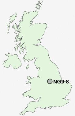
Postcode : NG9 8, Nottinghamshire, Derbyshire
Postcodes in the NG9 8 district. Covering areas such as Stanton Gate and Nottinghamshire in Derbyshire.
Postcode Area NG : Nottingham
NG9 Postcode Sectors
NG9 8 Nearby Postcode Districts
DE1 DE21 DE22 DE23 DE24 DE3 DE56 DE65 DE7 DE72 DE73 DE74 DE75 NG1 NG10 NG11 NG12 NG13 NG14 NG16 NG2 NG3 NG4 NG5 NG6 NG7 NG8 NG9
Stations near to NG9 8
Attenborough Rail Station about 3.17 miles away.NG9 8 Schools
Albany Junior SchoolAlbany Infant and Nursery School
Fairfield Primary School
William Lilley Infant and Nursery School
Bramcote Hills Primary School
Sunnyside Primary and Nursery School
UK Search
Antique Furniture
1000s of pieces of Antique Furniture for sale from British antique dealers.