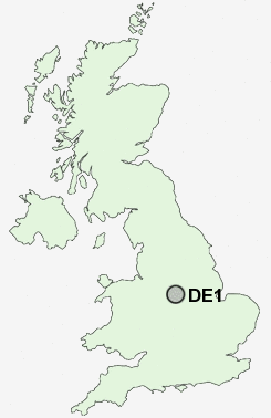
Postcode : DE1, Derby
Postcodes in the DE1 sector. Covering areas such as Lullington, Woodhouses, Stretton, Woodlane, The Sale, Blackfordby, Lower Midway, Stapenhill, Rough Hay, Alder Moor, Owen's Bank, Wychnor, Smisby, Rose Hill, Short Heath, Derbyshire, Staffordshire and Derby in Leicestershire.
Postcode Area DE : Derby
DE1 Postcode Sectors
DE1 Nearby Postcode Districts
DE1 DE21 DE22 DE23 DE24 DE3 DE6 DE65 DE7 DE72 DE73 DE74 DE75 NG1 NG10 NG11 NG2 NG3 NG4 NG5 NG6 NG7 NG8 NG9 ST14
Stations near to DE1
Derby Rail Station about 0.54 miles away.Peartree Rail Station about 1.59 miles away.
DE1 Schools
Landau Forte CollegeLandau Forte College
Rosehill Infant and Nursery School
Arboretum Primary School
Hardwick Primary School
The Bemrose School
Markeaton Primary School
Lakeside Community Primary School
Da Vinci Community School
UK Search
Antique Jewellery
including Antique Engagement Rings for sale from UK Antique specialists.