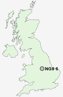
Postcode : NG9 6, Nottinghamshire
Postcodes in the NG9 6 district. Covering areas such as Attenborough, Toton and Nottinghamshire.
Postcode Area NG : Nottingham
NG9 Postcode Sectors
NG9 6 Nearby Postcode Districts
DE1 DE21 DE22 DE23 DE24 DE3 DE65 DE7 DE72 DE73 DE74 NG1 NG10 NG11 NG12 NG13 NG2 NG3 NG4 NG5 NG6 NG7 NG8 NG9
Stations near to NG9 6
Attenborough Rail Station about 0.8 miles away.Beeston Rail Station about 2.07 miles away.
Long Eaton Rail Station about 2.1 miles away.
East Midlands Parkway Rail Station about 3.02 miles away.
NG9 6 Schools
Chetwynd Road Primary SchoolEskdale Junior School
Alderman Pounder Infant and Nursery School
Sunnyside Primary and Nursery School
Meadow Lane Infant School
College House Primary School
Fairfield Primary School
William Lilley Infant and Nursery School
UK Search
Antique Furniture
1000s of pieces of Antique Furniture for sale from British antique dealers.