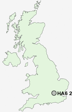
Postcode : HA6 2, Greater London, Hertfordshire
Postcodes in the HA6 2 district. Covering areas such as Moor Park and Greater London in Hertfordshire.
Postcode Area HA : Harrow
HA6 Postcode Sectors
HA6 2 Nearby Postcode Districts
AL2 E5 E8 E9 EN1 EN2 EN3 EN4 EN5 EN6 EN7 HA0 HA1 HA2 HA3 HA4 HA5 HA6 HA7 HA8 HA9 HP10 HP11 HP12 HP13 HP14 HP15 HP16 HP27 HP5 HP6 HP7 HP8 HP9 N1 N10 N11 N12 N13 N14 N15 N16 N17 N18 N19 N2 N20 N21 N22 N3 N4 N5 N6 N7 N8 N9 NW1 NW10 NW11 NW2 NW3 NW4 NW5 NW6 NW7 NW8 NW9 SL2 SL7 SL8 SL9 UB10 UB5 UB6 UB8 UB9 WD1 WD17 WD18 WD19 WD2 WD23 WD24 WD25 WD3 WD4 WD5 WD6 WD7
Stations near to HA6 2
Rickmansworth Rail Station about 1.84 miles away.Carpenders Park Rail Station about 2.06 miles away.
Bushey Rail Station about 2.35 miles away.
Bushey Rail Station about 2.37 miles away.
Watford High Street Rail Station about 2.4 miles away.
Watford Junction Rail Station about 2.82 miles away.
Watford Junction Rail Station about 2.86 miles away.
Watford North Rail Station about 3.68 miles away.
HA6 2 Schools
Eastbury Farm Primary SchoolHolywell Primary School
Harvey Road Primary School
Westfield Community Technology College
Rickmansworth Park Junior Mixed and Infant School
Laurance Haines School
Yorke Mead Primary School
UK Search
Antique Jewellery
including Antique Engagement Rings for sale from UK Antique specialists.