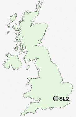
Postcode : SL2, Slough, Buckinghamshire
Postcodes in the SL2 sector. Covering areas such as Egypt, Hedgerley Green, Lynch Hill, Hedgerley, East Burnham, Farnham Common, Hedgerley Hill, Farnham Royal, Britwell, Stoke Green, Farnham Park, Stoke Poges, Upton Lea, Hollybush Corner and Slough in Berkshire, Buckinghamshire.
Postcode Area SL : Slough
SL2 Postcode Sectors
SL2 1 Britwell
SL2 3 East Burnham, Egypt, Farnham Common, Farnham Park, Farnham Royal
SL2 4 Hedgerley Hill, Hollybush Hill, Stoke Green, Stoke Poges
SL2 3 East Burnham, Egypt, Farnham Common, Farnham Park, Farnham Royal
SL2 4 Hedgerley Hill, Hollybush Hill, Stoke Green, Stoke Poges
SL2 Nearby Postcode Districts
HA0 HA1 HA2 HA3 HA4 HA5 HA6 HA7 HA8 HA9 HP10 HP11 HP12 HP13 HP9 NW10 NW2 NW4 NW7 NW9 RG1 RG10 RG4 RG5 RG6 RG9 SL0 SL1 SL2 SL3 SL4 SL6 SL7 SL8 SL9 SW13 SW14 SW15 TW1 TW10 TW13 TW14 TW19 TW2 TW3 TW4 TW5 TW6 TW7 TW8 TW9 UB1 UB10 UB11 UB2 UB3 UB4 UB5 UB6 UB7 UB8 UB9 W10 W11 W12 W13 W14 W3 W4 W5 W6 W7 WD19
Stations near to SL2
Slough Rail Station about 1.61 miles away.Burnham (Berks) Rail Station about 2 miles away.
Windsor & Eton Riverside Rail Station about 3.34 miles away.
SL2 Schools
Penn Wood Primary and Nursery SchoolGodolphin Infant School
Godolphin Junior School
Beechwood School
Claycots School
James Elliman School
The Stoke Poges School
Wexham School
Wexham Court Primary School
Farnham Common Infant School
UK Search
Antique Furniture
1000s of pieces of Antique Furniture for sale from British antique dealers.