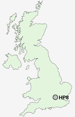
Postcode : HP8, Buckinghamshire
Postcodes in the HP8 sector. Covering areas such as Bottrells Close, Stratton Chase, Chalfont St Giles and Buckinghamshire.
Postcode Area HP : Hemel Hempstead
HP8 Postcode Sectors
HP8 Nearby Postcode Districts
AL2 EN5 EN6 HA0 HA1 HA2 HA3 HA4 HA5 HA6 HA7 HA8 HA9 HP10 HP11 HP12 HP13 HP14 HP15 HP16 HP27 HP3 HP5 HP6 HP7 HP8 HP9 N12 N20 N3 NW11 NW2 NW4 NW7 NW9 OX39 RG9 SL7 SL8 SL9 UB10 UB5 UB9 WD1 WD17 WD18 WD19 WD2 WD23 WD24 WD25 WD3 WD4 WD5 WD6 WD7
Stations near to HP8
Chalfont & Latimer Rail Station about 1.88 miles away.Amersham Rail Station about 2.67 miles away.
Seer Green Rail Station about 2.68 miles away.
HP8 Schools
Chalfont St Giles Infant School and NurseryChalfont St Giles Junior School
UK Search
Antique Jewellery
including Antique Engagement Rings for sale from UK Antique specialists.