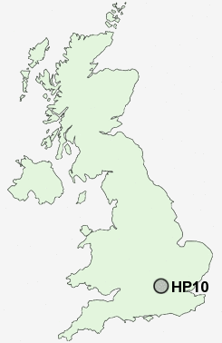
Postcode : HP10, Buckinghamshire
Postcodes in the HP10 sector. Covering areas such as Cores End, Berghers Hill, Wooburn Green, Handy Cross, Wooburn, Hedsor, Loudwater, Flackwell Heath, Beacon Hill, Penn, Wooburn Moor, Wooburn Common, Tylers Green and Buckinghamshire.
Postcode Area HP : Hemel Hempstead
HP10 Postcode Sectors
HP10 8 Beacon Hill, Penn, Tylers Green
HP10 0 Berghers Hill, Cores End, Hedsor, Wooburn, Wooburn Common
HP10 0 Berghers Hill, Cores End, Hedsor, Wooburn, Wooburn Common
HP10 Nearby Postcode Districts
HA0 HA1 HA2 HA3 HA4 HA5 HA6 HA7 HP10 HP11 HP12 HP13 HP14 HP15 HP16 HP6 HP7 HP8 HP9 OX39 OX49 RG9 SL0 SL1 SL2 SL6 SL7 SL8 SL9 UB1 UB10 UB11 UB4 UB5 UB6 UB8 UB9 W13 W7 WD1 WD17 WD18 WD19 WD2 WD23 WD24 WD25 WD3 WD4 WD5 WD7
Stations near to HP10
Bourne End Rail Station about 2.23 miles away.High Wycombe Rail Station about 2.34 miles away.
HP10 Schools
Carrington Junior SchoolThe Meadows School
Ash Hill Primary School
Holtspur School & Pre-School
Claytons Primary School
Tylers Green First School
Tylers Green Middle School
UK Search
Antique Jewellery
including Antique Engagement Rings for sale from UK Antique specialists.