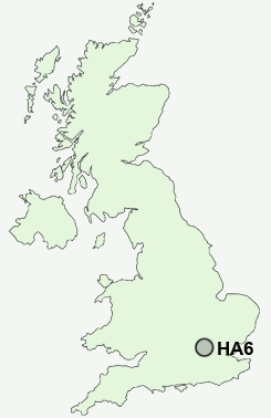
Postcode : HA6, Greater London, London
Postcodes in the HA6 sector. Covering areas such as Northwood, Northwood Hills, Moor Park, Eastbury and Greater London in Harrow, Greater London, Hertfordshire, Hillingdon, Greater London.
Postcode Area HA : Harrow
HA6 Postcode Sectors
HA6 Nearby Postcode Districts
E1 E2 E3 E5 E8 E9 EC1 EC1A EC1M EC1N EC1R EC1V EC1Y EC2 EC2A EC2M EC2N EC2R EC2V EC2Y EC3 EC3A EC3M EC3N EC3P EC3R EC3V EC4 EC4A EC4M EC4N EC4R EC4V EC4Y EN1 EN2 EN3 EN4 EN5 EN6 EN7 EN8 HA0 HA1 HA2 HA3 HA4 HA5 HA6 HA7 HA8 HA9 HP10 HP11 HP12 HP13 HP15 HP16 HP6 HP7 HP8 HP9 N1 N10 N11 N12 N13 N14 N15 N16 N17 N18 N19 N2 N20 N21 N22 N3 N4 N5 N6 N7 N8 N9 NW1 NW10 NW11 NW2 NW3 NW4 NW5 NW6 NW7 NW8 NW9 SL0 SL1 SL2 SL6 SL7 SL8 SL9 UB1 UB10 UB11 UB4 UB5 UB6 UB8 UB9 W1 W10 W11 W13 W1B W1C W1D W1F W1G W1H W1K W1M W1S W1T W1U W1W W2 W5 W7 W9 WC1 WC1A WC1B WC1E WC1H WC1N WC1R WC1V WC1X WC2 WC2A WC2B WC2E WC2H WC2N WC2R WD1 WD17 WD18 WD19 WD2 WD23 WD24 WD25 WD3 WD4 WD5 WD6 WD7
Stations near to HA6
Carpenders Park Rail Station about 1.93 miles away.West Ruislip Rail Station about 2.88 miles away.
Bushey Rail Station about 2.88 miles away.
Bushey Rail Station about 2.89 miles away.
Watford High Street Rail Station about 3.19 miles away.
HA6 Schools
Eastbury Farm Primary SchoolGreenfields Primary School
Oxhey Wood Primary School
Woodhall Primary School
Warren Dell Primary School
UK Search
Antique Jewellery
including Antique Engagement Rings for sale from UK Antique specialists.