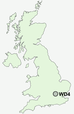
Postcode : WD4, Hertfordshire
Postcodes in the WD4 sector. Covering areas such as Tower Hill, Langleybury, Whippendell Bottom, Bulstrode, Chipperfield, Hunton Bridge, Bedmond, Commonwood, Kings Langley, Bucks Hill and Hertfordshire.
Postcode Area WD : Watford
WD4 Postcode Sectors
WD4 Nearby Postcode Districts
AL1 AL10 AL2 AL3 AL4 AL7 AL8 AL9 EN1 EN2 EN4 EN5 EN6 EN7 HA6 HA7 HA8 HP1 HP10 HP11 HP12 HP13 HP14 HP15 HP16 HP2 HP21 HP22 HP23 HP27 HP3 HP4 HP5 HP6 HP7 HP8 HP9 N11 N12 N13 N14 N18 N20 N21 N9 NW7 SG13 SG14 WD1 WD17 WD18 WD19 WD2 WD23 WD24 WD25 WD3 WD4 WD5 WD6 WD7
Stations near to WD4
Kings Langley Rail Station about 0.77 miles away.Apsley Rail Station about 1.65 miles away.
Hemel Hempstead Rail Station about 2.74 miles away.
WD4 Schools
Kings Langley SchoolKings Langley Primary School
Tanners Wood Junior Mixed and Infant School
Abbots Langley School
Two Waters Primary School
UK Search
Antique Furniture
1000s of pieces of Antique Furniture for sale from British antique dealers.