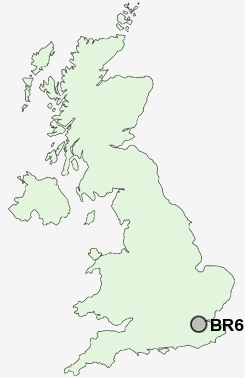
Postcode : BR6 7, Greater London, Kent
Postcodes in the BR6 7 district. Covering areas such as Maypole, Luxted, Downe, Well Hill, Rushmore Hill, Farnborough, Pratt's Bottom and Greater London in Bromley, Greater London, Kent.
Postcode Area BR : Bromley
BR6 Postcode Sectors
BR6 0 Broom Hill
BR6 9 Chelsfield, Goddington, Orpington
BR6 7 Downe, Farnborough, Luxted, Maypole, Pratt's Bottom
BR6 9 Chelsfield, Goddington, Orpington
BR6 7 Downe, Farnborough, Luxted, Maypole, Pratt's Bottom
BR6 7 Nearby Postcode Districts
BR1 BR2 BR3 BR4 BR5 BR6 BR7 BR8 CR0 CR2 CR3 CR4 CR5 CR6 CR7 CR8 DA1 DA10 DA11 DA12 DA13 DA14 DA15 DA2 DA3 DA4 DA5 DA9 KT17 KT20 KT4 ME1 ME14 ME15 ME16 ME19 ME2 ME20 ME4 ME5 ME6 RH8 SE12 SE19 SE20 SE21 SE23 SE25 SE26 SE27 SE6 SE9 SM1 SM2 SM3 SM4 SM5 SM6 SM7 SW12 SW16 SW17 SW18 SW19 SW2 SW20 TN13 TN14 TN15 TN16
Stations near to BR6 7
Knockholt Rail Station about 0.72 miles away.Chelsfield Rail Station about 1.61 miles away.
Shoreham (Kent) Rail Station about 2.28 miles away.
Swanley Rail Station about 3.11 miles away.
St Mary Cray Rail Station about 3.46 miles away.
BR6 7 Schools
Chelsfield Primary SchoolHalstead Community Primary School
The Highway Primary School
Pratts Bottom Primary School
Shoreham Village School
UK Search
Antique Clocks
Browse Antique Clocks for sale from British antique dealers.