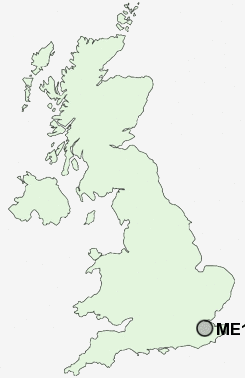
Postcode : ME15, Kent
Postcodes in the ME15 sector. Covering areas such as Park Wood, Willington, East Farleigh, Kettle Corner, Otham Hole, West Farleigh, Otham, Farleigh Green, Tovil, Loose Hill, Hunton, Loose, Shepway, Maidstone and Kent.
Postcode Area ME : Medway
ME15 Postcode Sectors
ME15 0 Dean Street, East Farleigh, Farleigh Green, Hunton, Kettle Corner
ME15 8 Green Hill, Otham, Otham Hole, Willington
ME15 9 Loose, Park Wood
ME15 8 Green Hill, Otham, Otham Hole, Willington
ME15 9 Loose, Park Wood
ME15 Nearby Postcode Districts
ME10 ME13 ME14 ME15 ME16 ME17 ME18 ME19 ME20 ME5 ME6 ME9 TN10 TN11 TN12 TN13 TN14 TN15 TN27 TN9
Stations near to ME15
Maidstone West Rail Station about 1.38 miles away.Maidstone East Rail Station about 1.73 miles away.
Maidstone Barracks Rail Station about 1.82 miles away.
East Farleigh Rail Station about 2.13 miles away.
Bearsted Rail Station about 2.41 miles away.
ME15 Schools
New Line Learning AcademyNew Line Learning Academy
Greenfields Community Primary School
Bell Wood Community Primary School
Invicta Grammar School
Madginford Primary School
Cornwallis Academy
Cornwallis Academy
Oakwood Park Grammar School
The Astor of Hever Community School
UK Search
Antique Furniture
1000s of pieces of Antique Furniture for sale from British antique dealers.