Postcode : DA13, Kent
Postcodes in the DA13 sector. Covering areas such as Luddesdown, Northfleet Green, Sole Street, Meopham Station, Priestwood Green, Priestwood, Vigo Village, Hook Green, Betsham, Nash Street, Istead Rise, Round Street, Meopham, South Street and Kent.
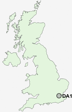
Postcode Area DA : Dartford
DA13 Postcode Sectors
DA13 Nearby Postcode Districts
BR1 BR2 BR3 BR4 BR5 BR6 BR7 BR8 DA1 DA10 DA11 DA12 DA13 DA14 DA15 DA16 DA2 DA3 DA4 DA5 DA6 DA7 DA8 DA9 ME1 ME10 ME11 ME19 ME2 ME20 ME3 ME4 ME5 ME6 ME7 ME8 ME9 RM17 RM18 RM19 RM20 SE10 SE12 SE13 SE14 SE3 SE4 SE6 SE8 SE9 TN14 TN15 TN16
Stations near to DA13
Meopham Rail Station about 0.32 miles away.Sole Street Rail Station about 1 miles away.
DA13 Schools
Meopham Community Primary SchoolMeopham School
Istead Rise Primary School
Langafel Church of England Voluntary Controlled Primary School
UK Search
Antique Jewellery
including Antique Engagement Rings for sale from UK Antique specialists.