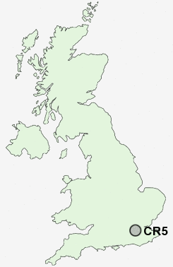
Postcode : CR5, Greater London, Surrey
Postcodes in the CR5 sector. Covering areas such as Mugswell, Hooley, Old Coulsdon, Coulsdon, Chipstead, Netherne on-the-Hill, Clock House and Greater London in Surrey, Croydon, Greater London.
Postcode Area CR : Croydon
CR5 Postcode Sectors
CR5 Nearby Postcode Districts
BR1 BR2 BR3 BR4 BR5 BR6 BR7 BR8 CR0 CR2 CR3 CR4 CR5 CR6 CR7 CR8 DA4 GU23 KT1 KT10 KT11 KT12 KT13 KT14 KT15 KT16 KT17 KT18 KT19 KT20 KT21 KT22 KT23 KT24 KT3 KT4 KT5 KT6 KT7 KT8 KT9 RH1 RH2 RH3 RH4 RH8 RH9 SE20 SE25 SM1 SM2 SM3 SM4 SM5 SM6 SM7 SW20 TN13 TN14 TN16 TW17
Stations near to CR5
Coulsdon South Rail Station about 0.27 miles away.Coulsdon Town (Smitham) Rail Station about 0.72 miles away.
Chipstead Rail Station about 1.33 miles away.
Kenley Rail Station about 1.87 miles away.
Purley Rail Station about 2.07 miles away.
Purley Oaks Rail Station about 2.98 miles away.
Merstham Rail Station about 3.34 miles away.
Carshalton Beeches Rail Station about 3.41 miles away.
CR5 Schools
Byron Primary SchoolSmitham Primary School
Chipstead Valley Primary School
The Wattenden Primary School
Woodcote Junior School
Keston Primary School
Beaumont Primary School
Woodcote High School
The Hayes Primary School
Woodmansterne Primary School
Roke Primary School
UK Search
Antique Clocks
Browse Antique Clocks for sale from British antique dealers.