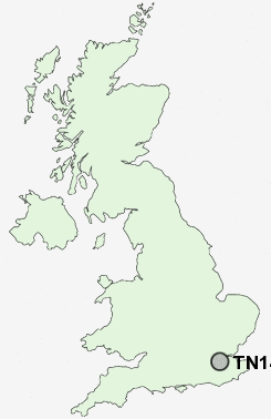
Postcode : TN14, Kent
Postcodes in the TN14 sector. Covering areas such as Twitton, Sundridge, Timberden Bottom, Halstead, Hanging Bank, Badgers Mount, Sevenoaks Weald, Winkhurst Green, Knockholt, Hall's Green, Fletcher's Green, Bayley's Hill, Cudham, Whitley Row and Kent in Bromley, Greater London.
Postcode Area TN : Tonbridge
TN14 Postcode Sectors
TN14 7 Badgers Mount, Cudham, Halstead, Hazelwood, Horns Green
TN14 6 Bayley's Hill, Chevening, Cooper's Corner, Cross Keys, Dryhill
TN14 6 Bayley's Hill, Chevening, Cooper's Corner, Cross Keys, Dryhill
TN14 Nearby Postcode Districts
BR2 BR4 BR5 BR6 CR0 CR2 CR3 CR5 CR6 CR7 CR8 DA13 DA3 DA4 KT20 ME1 ME14 ME15 ME16 ME18 ME19 ME2 ME20 ME4 ME5 ME6 ME7 RH1 RH2 RH8 RH9 SM1 SM2 SM3 SM4 SM5 SM6 SM7 TN10 TN11 TN13 TN14 TN15 TN16 TN8
Stations near to TN14
Dunton Green Rail Station about 0.4 miles away.Bat & Ball Rail Station about 1.44 miles away.
Sevenoaks Rail Station about 1.51 miles away.
Otford Rail Station about 1.96 miles away.
Shoreham (Kent) Rail Station about 2.82 miles away.
TN14 Schools
Dunton Green Primary SchoolRiverhead Infants' School
Amherst School
The Bradbourne School
Sevenoaks Primary School
Otford Primary School
Russell House School
Walthamstow Hall
UK Search
Antique Furniture
1000s of pieces of Antique Furniture for sale from British antique dealers.