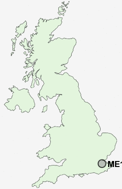
Postcode : ME14, Kent
Postcodes in the ME14 sector. Covering areas such as Thurnham, Harbourland, Scragged Oak, Ringlestone, Lower Cox Street, Weavering Street, Bearsted, Boxley, Abbey Gate, Roseacre, Sandling, Friningham, Penenden Heath, Detling and Kent.
Postcode Area ME : Medway
ME14 Postcode Sectors
ME14 3 Abbey Gate, Boxley, Detling, Friningham, Lower Cox Street
ME14 4 Bearsted, Roseacre, Ware Street
ME14 4 Bearsted, Roseacre, Ware Street
ME14 Nearby Postcode Districts
ME1 ME10 ME13 ME14 ME15 ME16 ME17 ME18 ME19 ME20 ME4 ME5 ME6 ME7 ME8 ME9 TN10 TN11 TN13 TN14 TN15 TN9
Stations near to ME14
Maidstone East Rail Station about 0.91 miles away.Maidstone Barracks Rail Station about 1.23 miles away.
Maidstone West Rail Station about 1.31 miles away.
Bearsted Rail Station about 1.57 miles away.
ME14 Schools
Invicta Grammar SchoolEast Borough Primary School
St Paul's Infant School
Sandling Primary School
Madginford Primary School
Madginford Park Junior School
Greenfields Community Primary School
UK Search
Antique Furniture
1000s of pieces of Antique Furniture for sale from British antique dealers.