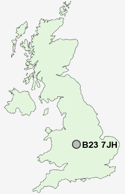
Postcode : B23 7JH, Stockland Green, Birmingham, West Midlands
Slade Road, Birmingham.
B23 7JH close to Stockland Green, Short Heath, Witton and Upper Witton.
Classification
B23 7JH : Multicultural metropolitans / Challenged Asian terraces / Asian terraces and flats
Local Authority Birmingham
Primary Care Trust Birmingham East and North
Ward Stockland Green
Constituency Birmingham, Erdington
Region West Midlands
Country England
Postcode Area B : Birmingham
B23 Postcode Sectors
B23 7JH Nearby Postcode Districts
B1 B10 B11 B12 B13 B15 B16 B17 B18 B19 B2 B20 B21 B23 B24 B25 B26 B27 B28 B29 B3 B32 B33 B34 B35 B36 B37 B4 B40 B42 B43 B44 B46 B5 B6 B62 B63 B64 B65 B66 B67 B68 B69 B7 B70 B71 B72 B73 B74 B75 B76 B77 B78 B8 B9 B92 CV10 CV12 CV6 CV7 CV9 DY1 DY2 DY3 DY4 DY5 DY6 DY7 DY8 DY9 WS1 WS10 WS2 WS3 WS4 WS5 WS9 WV1 WV10 WV11 WV12 WV13 WV14 WV2 WV3 WV4 WV5 WV6 WV8
Stations near to B23 7JH
Erdington Rail Station about 0.9 miles away.Aston Rail Station about 1.41 miles away.
Chester Road Rail Station about 1.42 miles away.
Duddeston Rail Station about 2.45 miles away.
Adderley Park Rail Station about 2.77 miles away.
Birmingham Snow Hill Rail Station about 3.22 miles away.
Birmingham Moor Street Rail Station about 3.35 miles away.
Birmingham New Street Rail Station about 3.57 miles away.
B23 7JH Schools
Stockland Green Technology CollegeKingsbury School and Sports College
The College High Specialist Arts School
Broadway School
UK Search
Antique Clocks
Browse Antique Clocks for sale from British antique dealers.