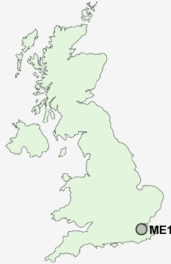
Postcode : ME15 0, Kent
Postcodes in the ME15 0 district. Covering areas such as Loose Hill, Farleigh Green, West Farleigh, Hunton, Kettle Corner, East Farleigh, Dean Street and Kent.
Postcode Area ME : Medway
ME15 Postcode Sectors
ME15 0 Dean Street, East Farleigh, Farleigh Green, Hunton, Kettle Corner
ME15 8 Green Hill, Otham, Otham Hole, Willington
ME15 9 Loose, Park Wood
ME15 8 Green Hill, Otham, Otham Hole, Willington
ME15 9 Loose, Park Wood
ME15 0 Nearby Postcode Districts
ME10 ME14 ME15 ME16 ME17 ME18 ME19 ME20 ME6 ME9 TN10 TN11 TN12 TN13 TN14 TN15 TN27 TN4 TN8 TN9
Stations near to ME15 0
East Farleigh Rail Station about 1.41 miles away.Wateringbury Rail Station about 1.47 miles away.
Yalding Rail Station about 2.32 miles away.
East Malling Rail Station about 2.85 miles away.
Barming Rail Station about 2.87 miles away.
West Malling Rail Station about 3.57 miles away.
ME15 0 Schools
Shire Oak VC Primary SchoolSt Helens Montessori
East Farleigh Primary School
Wateringbury Church of England Primary School
Barming Primary School
Yalding, St Peter and St Paul Church of England Voluntary Controlled Primary School
Coxheath Primary School
UK Search
Antique Furniture
1000s of pieces of Antique Furniture for sale from British antique dealers.