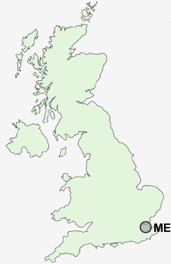
Postcode : ME9, Kent
Postcodes in the ME9 sector. Covering areas such as Deerton Street, Highsted, Newbury, Dungate, Lower Hartlip, Upper Rodmersham, Deans Hill, Frinsted, Bobbing, Rodmersham, Bexon, Barrow Green, Radfield, Doddington, Conyer and Kent.
Postcode Area ME : Medway
ME9 Postcode Sectors
ME9 9 Bapchild, Barrow Green, Blacketts, Cellarhill, Conyer
ME9 8 Bexon, Bicknor, Bobbing, Borden, Bredgar
ME9 8 Bexon, Bicknor, Bobbing, Borden, Bredgar
ME9 0 Bluetown, Bottom Pond, Doddington, Dungate, Erriottwood
ME9 7 Breach, Chesley, Ham Green, Hartlip, Hill Green
ME9 7 Breach, Chesley, Ham Green, Hartlip, Hill Green
ME9 Nearby Postcode Districts
CT1 CT2 CT5 DA12 DA13 ME1 ME10 ME11 ME12 ME13 ME14 ME15 ME16 ME17 ME18 ME19 ME2 ME20 ME3 ME4 ME5 ME6 ME7 ME8 ME9
Stations near to ME9
Sittingbourne Rail Station about 0.75 miles away.Kemsley Rail Station about 2.08 miles away.
ME9 Schools
The Oaks Community Infant SchoolMinterne Community Junior School
Woodgrove Primary School
South Avenue Junior School
South Avenue Infant School
Canterbury Road Primary School
Grove Park Community Primary School
Milton Court Primary School
Sittingbourne Community College
Murston Infant School
Regis Manor Community Primary School
Lansdowne Primary School
UK Search
Antique Furniture
1000s of pieces of Antique Furniture for sale from British antique dealers.