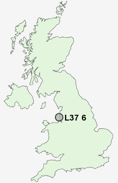
Postcode : L37 6, Sefton, Merseyside
Postcodes in the L37 6 district. Covering areas such as Little Altcar and Sefton in Merseyside.
Postcode Area L : Liverpool
L37 Postcode Sectors
L37 6 Nearby Postcode Districts
L10 L20 L21 L22 L23 L29 L30 L31 L32 L33 L37 L38 L39 L40 L9 PR7 PR8 WA10 WA11 WN5 WN6 WN8
Stations near to L37 6
Formby Rail Station about 0.86 miles away.Freshfield Rail Station about 1.39 miles away.
Hightown Rail Station about 1.78 miles away.
L37 6 Schools
Redgate Community Primary SchoolOur Lady of Compassion Catholic Primary School
Freshfield Primary School
Formby High School
St Luke's Church of England Primary School
Woodlands Primary School
Trinity St Peter's CofE Primary School
Range High School
St Jerome's Catholic Primary School
UK Search
Antique Jewellery
including Antique Engagement Rings for sale from UK Antique specialists.