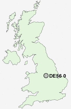
Postcode : DE56 0, Derbyshire
Postcodes in the DE56 0 district. Covering areas such as Far Laund, Bargate, Holbrook Moor, Cinderhill, Kilburn, Makeney, White Moor, Milford, Rawson Green, Lower Kilburn, Holbrook and Derbyshire.
Postcode Area DE : Derby
DE56 Postcode Sectors
DE56 2 Alderwasley, Belper Lane End, Blackbrook, Boothgate, Broadholm
DE56 0 Bargate, Cinderhill, Far Laund, Holbrook, Holbrook Moor
DE56 0 Bargate, Cinderhill, Far Laund, Holbrook, Holbrook Moor
DE56 0 Nearby Postcode Districts
DE21 DE22 DE4 DE5 DE55 DE56 DE6 DE7 DE75 NG1 NG15 NG16 NG17 NG2 NG3 NG4 NG5 NG6 NG7 NG8
Stations near to DE56 0
Belper Rail Station about 1.22 miles away.Ambergate Rail Station about 2.16 miles away.
Duffield Rail Station about 3.28 miles away.
DE56 0 Schools
Pottery Primary SchoolBelper School and Sixth Form Centre
St Elizabeth's Catholic Primary School
Herbert Strutt Primary School
Long Row Primary School
Street Lane Primary School
Heage Primary School
John Flamsteed Community School
Kilburn Junior School
Kilburn Infant and Nursery School
Ambergate Primary School
UK Search
Antique Jewellery
including Antique Engagement Rings for sale from UK Antique specialists.