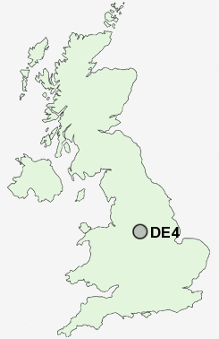
Postcode : DE4, Derbyshire
Postcodes in the DE4 sector. Covering areas such as Wirksworth Moor, Rowsley, Longcliffe, Birchover, Matlock Cliff, Hassop, Wensley, Bakewell, Carsington, Holloway, Dale End, Millers Green, Pilhough, Starkholmes, Wheatcroft and Derbyshire.
Postcode Area DE : Derby
DE4 Postcode Sectors
DE4 4 Aldwark, Ashleyhay, Brassington, Carsington, Gorseybank
DE4 2 Beeley, Birchover, Bonsall, Brightgate, Calton Lees
DE4 2 Beeley, Birchover, Bonsall, Brightgate, Calton Lees
DE4 3 Bolehill, Cromford, Matlock, Matlock Bank, Matlock Bath
DE4 5 Crich, Crich Carr, Farley, Hearthstone, Holestone
DE4 5 Crich, Crich Carr, Farley, Hearthstone, Holestone
DE4 Nearby Postcode Districts
DE4 DE45 DE5 DE55 NG15 NG16 NG17 NG18 NG19 NG20 S42 S44 S45
Stations near to DE4
Matlock Bath Rail Station about 0.44 miles away.Matlock Rail Station about 0.82 miles away.
Cromford Rail Station about 1.15 miles away.
DE4 Schools
St Giles CofE (Aided) Primary SchoolBonsall CofE (A) Primary School
Matlock All Saints Infants' School
Castle View Primary School
All Saints CofE Junior School
St Joseph's Catholic Primary
Cromford Church of England Primary School
Highfields School
UK Search
Antique Jewellery
including Antique Engagement Rings for sale from UK Antique specialists.