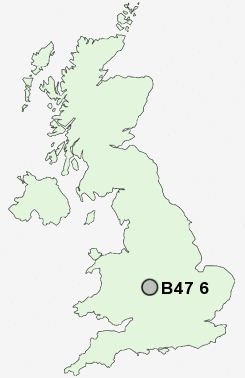
Postcode : B47 6, Worcestershire
Postcodes in the B47 6 district. Covering areas such as Tidbury Green, Wythall, Tanner's Green, Birch Acre, Inkford, Grimes Hill, Silver Street and Worcestershire in West Midlands.
Postcode Area B : Birmingham
B47 Postcode Sectors
B47 6 Nearby Postcode Districts
B10 B11 B12 B13 B14 B15 B16 B17 B25 B26 B27 B28 B29 B30 B31 B32 B38 B40 B45 B47 B48 B5 B60 B61 B62 B63 B64 B90 B91 B92 B93 B94 B95 B97 B98 CV1 CV3 CV31 CV32 CV34 CV4 CV5 CV6 CV7 CV8 DY10 DY11 DY7 DY8 DY9
Stations near to B47 6
Wythall Rail Station about 0.49 miles away.Earlswood (West Midlands) Rail Station about 0.99 miles away.
Whitlocks End Rail Station about 1.45 miles away.
The Lakes Rail Station about 1.85 miles away.
Shirley Rail Station about 2.23 miles away.
Wood End Rail Station about 2.7 miles away.
Yardley Wood Rail Station about 3.18 miles away.
Bournville Rail Station about 4.01 miles away.
B47 6 Schools
Wythall, Meadow Green PrimaryHollywood, The Coppice Primary School
Tidbury Green School
Hollywood Primary School
Dickens Heath Community Primary School
UK Search
Antique Clocks
Browse Antique Clocks for sale from British antique dealers.