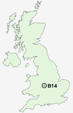
Postcode : B14, Birmingham, West Midlands
Postcodes in the B14 sector. Covering areas such as Warstock, King's Heath, Highter's Heath, Brandwood End and Birmingham in West Midlands.
Postcode Area B : Birmingham
B14 Postcode Sectors
B14 Nearby Postcode Districts
B1 B10 B11 B12 B13 B14 B15 B16 B17 B18 B19 B2 B20 B21 B25 B26 B27 B28 B29 B3 B30 B31 B32 B33 B34 B36 B37 B38 B4 B40 B45 B46 B47 B48 B5 B6 B60 B61 B62 B63 B64 B65 B66 B67 B68 B69 B7 B8 B9 B90 B91 B92 B93 B94 CV1 CV4 CV5 CV6 CV7 CV8 DY1 DY10 DY11 DY13 DY2 DY5 DY6 DY7 DY8 DY9
Stations near to B14
Bournville Rail Station about 1.72 miles away.Kings Norton Rail Station about 1.83 miles away.
Shirley Rail Station about 2.07 miles away.
Hall Green Rail Station about 2.29 miles away.
Selly Oak Rail Station about 2.62 miles away.
University Rail Station about 3.1 miles away.
Tyseley Rail Station about 3.32 miles away.
Small Heath Rail Station about 3.46 miles away.
B14 Schools
Kings Heath BoysWheelers Lane Primary School
Swanshurst School
Kings Heath Primary School
Peterbrook Primary School
Queensbridge School
Mill Lodge Primary School
Hollywood, The Coppice Primary School
UK Search
Antique Clocks
Browse Antique Clocks for sale from British antique dealers.