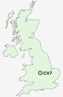
Postcode : CV7, Coventry, West Midlands
Postcodes in the CV7 sector. Covering areas such as Barnacle, Withybrook, Ballard's Green, Wood End, Beechwood, Corley, Neal's Green, Lodge Green, Shilton, Outwoods, Ansty, Benton Green, Eaves Green, Green End, Four Oaks and Coventry in Warwickshire, West Midlands.
Postcode Area CV : Coventry
CV7 Postcode Sectors
CV7 9 Ansty, Barnacle, Exhall, Hopsford, Neal's Green
CV7 8 Ballard's Green, Chapel Green, Corley, Corley Ash, Corley Moor
CV7 8 Ballard's Green, Chapel Green, Corley, Corley Ash, Corley Moor
CV7 Nearby Postcode Districts
B1 B10 B11 B12 B13 B14 B15 B16 B17 B18 B19 B2 B20 B21 B23 B24 B25 B26 B27 B28 B29 B3 B30 B33 B34 B35 B36 B37 B38 B4 B40 B42 B46 B47 B48 B5 B6 B7 B8 B9 B90 B91 B92 B93 B94 CV1 CV10 CV11 CV12 CV2 CV21 CV22 CV23 CV3 CV4 CV5 CV6 CV7 CV8 LE10 LE17
Stations near to CV7
Canley Rail Station about 3.16 miles away.Coventry Rail Station about 3.64 miles away.
Tile Hill Rail Station about 3.67 miles away.
CV7 Schools
Allesley Primary SchoolCoundon Court School and Community College
Keresley Grange Primary School
Hollyfast Primary School
Keresley Newland Primary School
Allesley Hall Primary School
UK Search
Antique Clocks
Browse Antique Clocks for sale from British antique dealers.