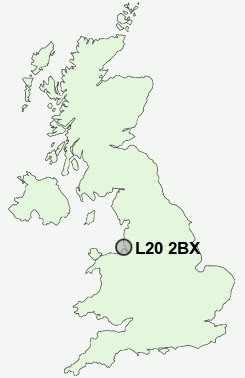
Postcode : L20 2BX, Sefton, Merseyside
Store Street, Liverpool.
L20 2BX close to Bootle and Sandhills.
Classification
L20 2BX : Constrained city dwellers / White communities / Constrained young families
Local Authority Liverpool
Primary Care Trust Liverpool
Ward Kirkdale
Constituency Liverpool, Riverside
Region North West
Country England
Postcode Area L : Liverpool
L20 Postcode Sectors
L20 2BX Nearby Postcode Districts
CH41 CH42 CH43 CH44 CH45 CH46 CH47 CH48 CH49 CH61 CH63 L1 L10 L11 L12 L13 L14 L15 L16 L17 L18 L19 L2 L20 L21 L22 L23 L24 L25 L26 L27 L28 L29 L3 L30 L31 L32 L33 L34 L35 L36 L38 L4 L5 L6 L69 L7 L70 L8 L9 WA10 WA11 WA12 WA5 WA8 WA9 WN2 WN3 WN4 WN5
Stations near to L20 2BX
Bank Hall Rail Station about 0.35 miles away.Bootle Oriel Road Rail Station about 0.68 miles away.
Bootle New Strand Rail Station about 0.99 miles away.
Aintree Rail Station about 2.49 miles away.
Fazakerley Rail Station about 2.67 miles away.
Edge Hill Rail Station about 3.04 miles away.
Birkenhead Hamilton Square Rail Station about 3.47 miles away.
Conway Park Rail Station about 3.71 miles away.
L20 2BX Schools
Hillside High SchoolSt George of England Specialist Engineering College
Lander Road Primary School
Pinehurst Primary School Anfield
Springwell Park Community Primary School
UK Search
Antique Jewellery
including Antique Engagement Rings for sale from UK Antique specialists.