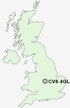
Postcode : CV6 4GL, Holbrooks, Coventry, West Midlands
Rookery Lane, Coventry.
CV6 4GL close to Holbrooks, Keresley Newlands and Whitmore Park.
Classification
CV6 4GL : Hard-pressed living / Industrious communities / Industrious transitions
Local Authority Coventry
Primary Care Trust Coventry Teaching
Ward Holbrook
Constituency Coventry North West
Region West Midlands
Country England
Postcode Area CV : Coventry
CV6 Postcode Sectors
CV6 4 Holbrooks, Keresley Newlands, Whitmore Park
CV6 6 Little Heath, Longford, Rowley's Green
CV6 1 Radford
CV6 6 Little Heath, Longford, Rowley's Green
CV6 1 Radford
CV6 4GL Nearby Postcode Districts
B1 B10 B11 B12 B13 B14 B19 B2 B20 B23 B24 B25 B26 B27 B28 B3 B33 B34 B35 B36 B37 B4 B40 B42 B44 B46 B47 B5 B6 B7 B76 B8 B9 B90 B91 B92 B93 B94 CV1 CV10 CV11 CV12 CV2 CV21 CV22 CV23 CV3 CV4 CV5 CV6 CV7 CV8 LE10 LE17
Stations near to CV6 4GL
Coventry Rail Station about 3.35 miles away.Canley Rail Station about 3.63 miles away.
CV6 4GL Schools
President Kennedy School and Community CollegeParkgate Primary School
John Shelton Community Primary School
Wheelwright Lane Primary School
Keresley Newland Primary School
Hill Farm Primary School
St Giles Junior School
UK Search
Antique Clocks
Browse Antique Clocks for sale from British antique dealers.