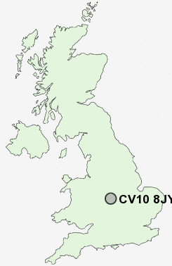
Postcode : CV10 8JY, Stockingford, Warwickshire
Nuneaton, Warwickshire.
CV10 8JY close to Stockingford, Robinson's End, Camp Hill and Plough Hill.
Classification
CV10 8JY : Hard-pressed living / Migration and churn / Hard-pressed ethnic mix
Local Authority Nuneaton and Bedworth
Primary Care Trust Warwickshire
Ward Kingswood
Constituency Nuneaton
Region West Midlands
Country England
Postcode Area CV : Coventry
CV10 Postcode Sectors
CV10 9 Ansley, Camp Hill, Church End, Galley Common, Plough Hill
CV10 0 Ansley Common, Birchley Heath, Caldecote, Chapel End, Hartshill
CV10 0 Ansley Common, Birchley Heath, Caldecote, Chapel End, Hartshill
CV10 8JY Nearby Postcode Districts
B10 B11 B12 B13 B19 B2 B23 B24 B25 B26 B27 B28 B3 B33 B34 B35 B36 B37 B4 B40 B44 B46 B5 B6 B7 B72 B73 B74 B75 B76 B77 B78 B8 B9 B92 CV10 CV11 CV12 CV13 CV2 CV6 CV7 CV9 LE10 LE17 LE18 LE2 LE9
Stations near to CV10 8JY
Nuneaton Rail Station about 1.85 miles away.Bedworth Rail Station about 3.14 miles away.
CV10 8JY Schools
Stockingford Junior SchoolStockingford Primary School
Alderman Smith School
Croft Junior School
Glendale Infant School
Galley Common Infant School
Chilvers Coton Community Infant School
Nathaniel Newton Infant School
Michael Drayton Junior School
UK Search
Antique Clocks
Browse Antique Clocks for sale from British antique dealers.