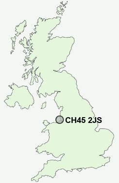
Postcode : CH45 2JS, New Brighton, Wirral, Merseyside
Marine Promenade, Wallasey.
Classification
CH45 2JS : Constrained city dwellers / Challenged diversity / Hampered aspiration
Local Authority Wirral
Primary Care Trust Wirral
Ward New Brighton
Constituency Wallasey
Region North West
Country England
Postcode Area CH : Chester
CH45 Postcode Sectors
CH45 2JS Nearby Postcode Districts
CH41 CH42 CH43 CH44 CH45 CH46 CH47 CH48 CH49 CH61 CH63 L1 L10 L11 L12 L13 L14 L15 L16 L17 L18 L19 L2 L20 L21 L22 L23 L24 L25 L26 L27 L28 L29 L3 L30 L31 L32 L33 L34 L35 L36 L38 L4 L5 L6 L69 L7 L70 L8 L9 WA10 WA11 WA8 WA9 WN3 WN4 WN5
Stations near to CH45 2JS
Bootle Oriel Road Rail Station about 1.96 miles away.Bootle New Strand Rail Station about 2.16 miles away.
Birkenhead North Rail Station about 2.54 miles away.
Bidston Rail Station about 2.61 miles away.
Birkenhead Park Rail Station about 2.95 miles away.
Blundellsands & Crosby Rail Station about 3.29 miles away.
Conway Park Rail Station about 3.32 miles away.
Birkenhead Hamilton Square Rail Station about 3.34 miles away.
CH45 2JS Schools
New Brighton Primary SchoolMount Primary School
Liscard Primary School
The Oldershaw School
St George's Primary School
Egremont Primary School
Park Primary School
The Mosslands School
Weatherhead High School Media Arts College
UK Search
Antique Clocks
Browse Antique Clocks for sale from British antique dealers.