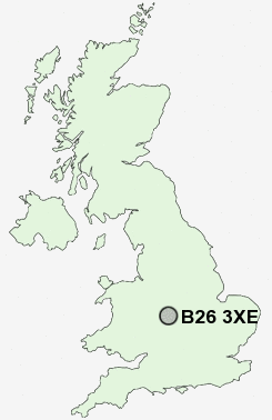
Postcode : B26 3XE, Sheldon, Birmingham, West Midlands
Mapledene Road, Birmingham.
B26 3XE close to Sheldon, Garrets Green and Lyndon Green.
Classification
B26 3XE : Constrained city dwellers / Challenged diversity / Multi-ethnic hardship
Local Authority Birmingham
Primary Care Trust Birmingham East and North
Ward Sheldon
Constituency Birmingham, Yardley
Region West Midlands
Country England
Postcode Area B : Birmingham
B26 Postcode Sectors
B26 3XE Nearby Postcode Districts
B1 B10 B11 B12 B13 B14 B15 B16 B17 B18 B19 B2 B20 B21 B23 B24 B25 B26 B27 B28 B29 B3 B30 B31 B32 B33 B34 B35 B36 B37 B38 B4 B40 B42 B43 B44 B45 B46 B47 B5 B6 B62 B63 B64 B65 B66 B67 B68 B69 B7 B70 B71 B72 B73 B76 B8 B9 B90 B91 B92 B93 CV1 CV10 CV11 CV12 CV2 CV3 CV4 CV5 CV6 CV7 DY1 DY2 DY3 DY4 DY5 DY6 DY8 DY9 WV14
Stations near to B26 3XE
Marston Green Rail Station about 0.74 miles away.Lea Hall Rail Station about 1.63 miles away.
Birmingham International Rail Station about 1.89 miles away.
Olton Rail Station about 2.11 miles away.
Stechford Rail Station about 2.5 miles away.
Solihull Rail Station about 3.24 miles away.
B26 3XE Schools
Mapledene Primary SchoolHatchford Brook Junior and Infant School
Lyndon School Humanities College
Grace Academy Solihull
Grace Academy Solihull
Daylesford Infant School
Fordbridge Community Primary School
The City Technology College
UK Search
Antique Clocks
Browse Antique Clocks for sale from British antique dealers.