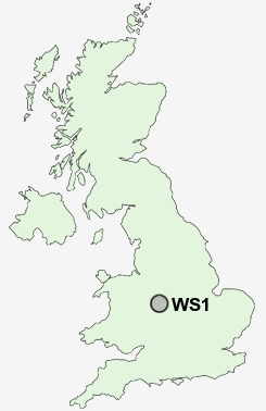
Postcode : WS1, Walsall, West Midlands
Postcodes in the WS1 sector. Covering areas such as Heath Hayes, The Lunt, Olive Green, Cold Well, Hilliard's Cross, Woodhouses, Hazelslade, Brereton Cross, Stone Cross, Caldmore, Bridgtown, Longdon Green, Nether Stowe, Huddlesford, Pipehill, Staffordshire, Walsall and Sandwell in West Midlands.
Postcode Area WS : Walssal
WS1 Postcode Sectors
WS1 Nearby Postcode Districts
B18 B19 B2 B20 B21 B23 B24 B3 B33 B34 B35 B36 B4 B42 B43 B44 B46 B6 B65 B66 B67 B68 B69 B7 B70 B71 B72 B73 B74 B75 B76 B77 B78 B79 B8 DY1 DY2 DY3 DY4 DY5 DY6 TF11 WS1 WS10 WS14 WS2 WS3 WS4 WS5 WS6 WS8 WS9 WV1 WV10 WV11 WV12 WV13 WV14 WV15 WV2 WV3 WV4 WV5 WV6 WV7 WV8 WV9
Stations near to WS1
Walsall Rail Station about 0.49 miles away.Bescot Stadium Rail Station about 1.25 miles away.
Tame Bridge Parkway Rail Station about 1.8 miles away.
Bloxwich Rail Station about 3.07 miles away.
Bloxwich North Rail Station about 3.63 miles away.
Hamstead (Birmingham) Rail Station about 3.88 miles away.
WS1 Schools
Caldmore Village Primary SchoolButts Primary School
Joseph Leckie Community Technology College
Alumwell Junior School
Alumwell Infant School
Alumwell Business and Enterprise College
UK Search
Antique Furniture
1000s of pieces of Antique Furniture for sale from British antique dealers.